Location Intelligence
Make critical decisions with confidence
Government, CRE, Utilities, FinTech, and FinServices firms all rely on the comprehensive and accuracy of location intelligence data from LightBox. Pinpoint properties like never before. Our smart location tools work for commercial builders and telecom alike.
Contact Us
Benefits
Seize the power of location intelligence data
- Find off-market opportunities
- Improve site selection
- Stay on top of risk management and mitigation
- Gain more complete ownership data
Mapping out the numbers
- 150M+ Parcels
- 154M+ Building Footprints
- 250M+ Addresses
- 35K+ Users
Why choose LightBox?
Three simple words that empower decision makers by delivering the most authoritative data, integrated workflows & unmatched industry connections.

Locate
The most comprehensive set of property characteristics, tax parcels & building footprints, and spatial & environmental data.

Analyze
A deeper understanding of all facets of the data along with location intelligence & a simplified workflow to help you move forward.

Act
Know that you have the most comprehensive data set & most detailed analytics so you can act on decisions with the highest degree of confidence.
Industries & Roles
Using SmartFabric and LightBox Data Solutions to analyze and close the digital divide
Learn more- LightBox SmartFabric
- LightBox Expertise
- LightBox Data Solutions
- LightBox Spatial Solutions
You need solid location intelligence to support workflows from land acquisition and site selection, to demand forecasting, planning and construction, and operational support. LightBox data and analytic solutions for the energy market gives you the relevant insights and information you need to make business-critical decisions.
Learn more- Expand Customer Reach
- Find Right-of-Way Easements
- Better Decision-Making, Better Results
- In-Depth Location & Energy Insights
- Forecast Demand
- Easy-To-Access Unique Data
Informed policy decisions depend on accurate data. LightBox uses location-based intelligence to gather data useful for infrastructure planning, disaster mitigation plans, environmental impact, and more. Utilize our authoritative data so you can avoid operational inconsistencies and make the best choices, whether you’re involved in federal, state or local government.
Learn more- Comprehensive Set Of Locations
- Instant Data Access
- Plan & Manage Infrastructure
- Proactively Plan
- Easy Integration
- Ensured Consistency
When it comes to insurance, precision is key. Make timely, cost-saving decisions with LightBox and access the data points you need in order to support customer acquisition, underwriting and risk assessment. Close your gaps in knowledge about ground elevation, rooftop geocodes and more.
Learn more- Understand Potential Impact Of Natural hazards
- Review Building & Property Detail
- Precision Location Assessment
- Determine Rental Properties
- Elevation Data
For routing and logistics companies and application developers, accurate location intelligence is critical to operational and driver efficiency. LightBox location intelligence data brings a higher level of accuracy to routing applications by empowering optimization activities, whether you are using common GIS or need integration into routing optimization software and models.
Learn more- Comprehensive Coverage
- Optimize Route Planning
- Highly Contextual Experiences
- Target Mission-Critical Data
- Priority Data To Fit Your Needs
With LightBox, you’ll get access to location accuracy and property intel, whether your cable, wireless, and wireline telecommunications work involves marketing and analytics, serviceability, planning and engineering or operations. Gain insights into segmented customer usage habits, demand forecasting and equipment estimates, so you can avoid delayed project times and quickly respond to issues.
Learn more- Identify Emerging Markets
- Strengthen Marketing & Communications
- Serviceability & Site Selection
- Better Demand Forecasting & Infrastructure maintenance
- Manage Assets
- Easily Handle Right-Of-Way Projects
With today’s increasing pace of business, you need to make decisions quicker than ever. LightBox provides you with real-time support in order to promote efficiency, no matter your area of focus. Access information critical to the maintenance of assets, gain visibility into customer usage habits and spend less time on your compliance reporting.
Learn more- Understand Client Needs
- Forecast Demand
- Strengthen Communications
- Maintain Infrastructure & Manage assets
- Simplify Planning & Reporting
- Easily Handle Right-Of-Way Projects
LandVisionSM Innovative Mapping Technology
A map-based location intelligence application, LandVision serves all types of industries from real estate to the government and public sectors. Powered by LightBox SpatialStream®, LandVision visualizes map-ready content.
Connected Data
Address Point
Address information for single family home, multi-unit dwellings or large office buildings with multiple secondary units and address information from multiple streets.
Building Footprints
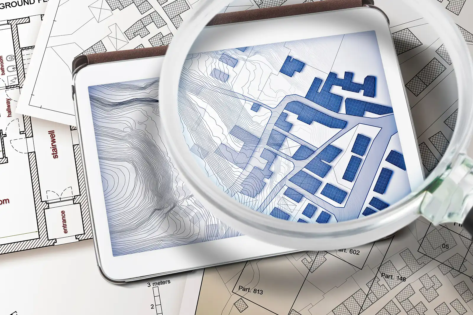
Building footprints are geospatial boundaries that provide the outline of a building drawn along the exterior walls.
Business Listings
Comprehensive view of tens of millions of businesses across the United States.
Parcel Boundaries
Nationwide parcel boundaries with 300+ property and tax attributes to help you make more confident decisions. Covers 3,100+ U.S. counties including territories, with over 150 million parcels with polygon geometry that is completely normalized.
Recommended Insights


The Changing Landscape of Data Center Zoning

How Builder Developers Use LandVision for Site Selection
Have questions? Want a demo? Let’s chat.
Fill out the form below and a member of our Sales Team will contact you shortly.