
LOCATION INTELLIGENCE
Pivotal Analytics chose LightBox to help them accurately locate their claims data to ensure the best locations for healthcare facilities
March 10, 2023 · 3 min read
Get access to research and thought leadership on how to drive smarter strategies with hyper-accurate locate intelligence data and mapping capabilities.
“With our deep technical knowledge and data driven approach, LightBox is committed to helping communities improve and better understand the complex broadband landscape.”

Technology and data come together on a scalable platform to meet 21st century industry challenges
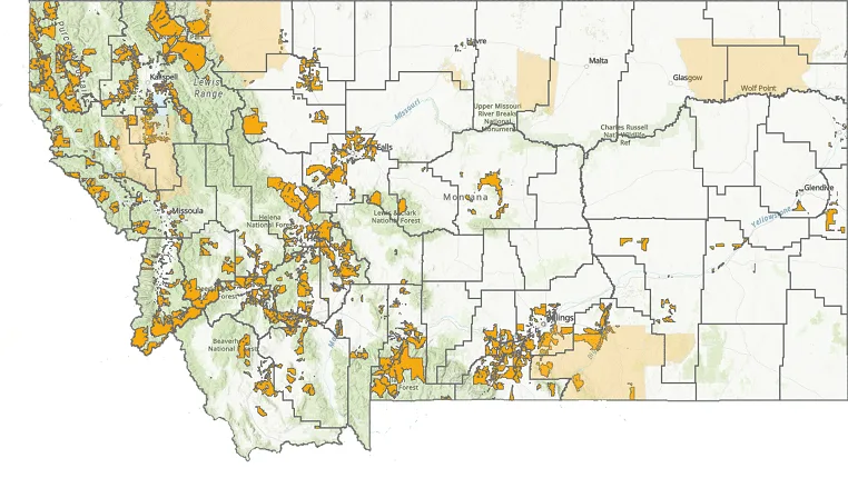
Closing the digital divide is a significant goal for legislators in Washington, D.C. As states such as Montana mobilize ...
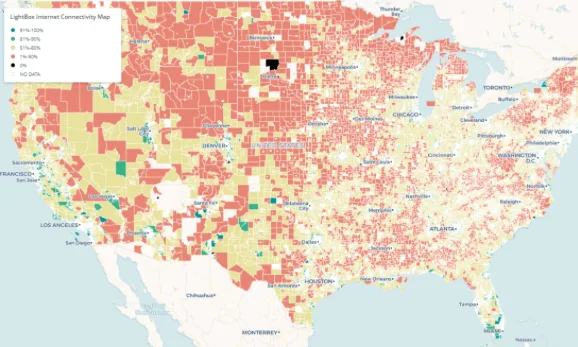
To create broadband maps, states officials often begin with surveys to determine which areas need broadband service — but there are...


LightBox recently assembled practitioner experts from government and industry for a webinar, “Closing the Broadband Gap: How to Use Data and Mapping Tools to Implement Successful Broadband Programs,” to discuss the challenge.



When restaurants started shutting down in March 2020, demand for meal delivery services skyrocketed. Many restaurants suffering the economic impact of the pandemic realized they needed to get creative to continue serving customers and saw an opportunity for reinvention.

Environmental consulting and engineering firms rely on GIS technology as a critical tool because it helps produce better, more accurate results for their clients.
A survey of marketers in North America confirms that more than 70% of businesses find the knowledge of “how customers spend time in the real world” useful in planning marketing campaigns.
LightBox is the company behind a variety of Parcel & Spatial Data, Historical Property & Environmental Data, Geographic Information System (GIS) Data, and Location-Based Analytics solutions for the Commercial Real Estate Industry, Environmental Intelligence Industry, Building & Land Development Industry, FinTech Industry, Insurance Industry, Legal Industry, Telecommunications Industry, Energy & Utility Industry as well as the Nation’s Public Sector.
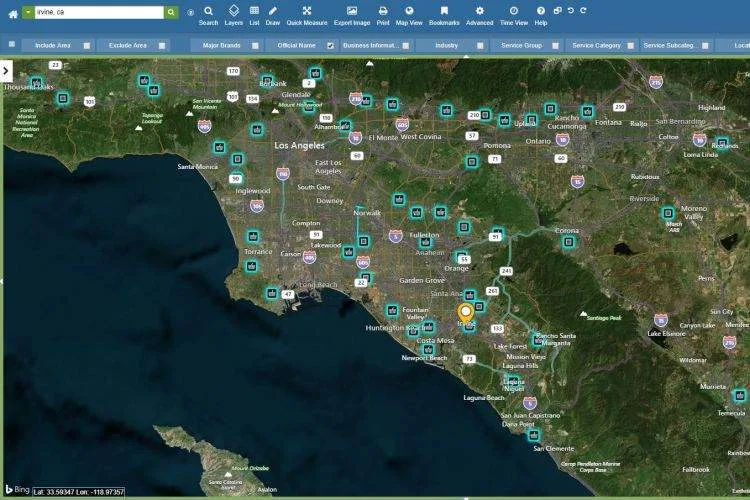
Grocery shopping is one task consumers still prefer to do in person, making it important to be able to identify promising grocery store real estate.
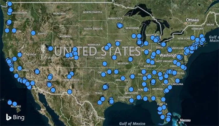
Amazon And Whole Foods Market: Both focus on customer needs & offer a place where those can be served. But the similarities don't end there.
Here’s a checklist of 4 customer touchpoints that Telecom marketers can optimize using location intelligence:
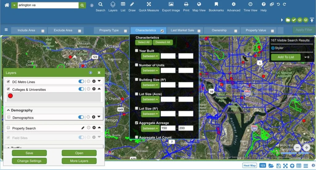
With the help of a location intelligence platform, even complicated site selection processes like the Amazon HQ2 search can be made much more manageable.
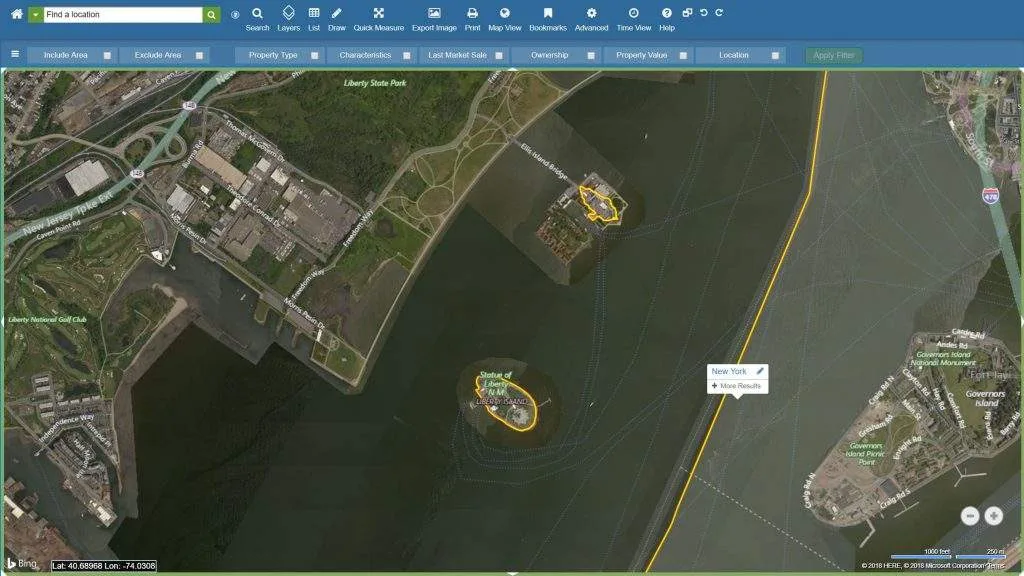
Can administrative boundaries and location intelligence help us determine who actually owns the Statue of Liberty? Read on!

In honor of Halloween, we’d like to show you how datasets and workflows within LandVision™ can help you optimize your route planning for Halloween.

Read to know why 70% of telecom companies are convinced that accurate location data is critical to their success

Even small cities with limited budgets and small populations can benefit from smart technology. The key is identifying what smart city technology is best.

A location intelligence platform allows you to search for sites based on very specific property criteria and enhances your site selection process