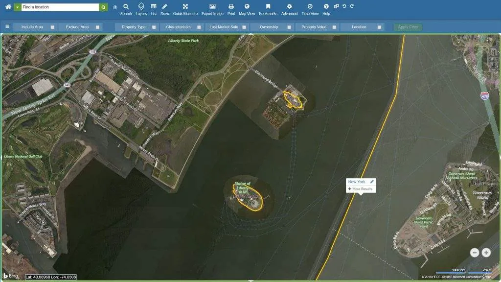
Using Administrative Boundaries in LandVision™ to Find Out Who Owns the Statue of Liberty
Can administrative boundaries and location intelligence help us determine who actually owns the Statue of Liberty? Read on!
Get access to research and thought leadership on how to drive smarter strategies with hyper-accurate locate intelligence data and mapping capabilities.

Can administrative boundaries and location intelligence help us determine who actually owns the Statue of Liberty? Read on!
In honor of Halloween, we’d like to show you how datasets and workflows within LandVision™ can help you optimize your route planning for Halloween.


Read to know why 70% of telecom companies are convinced that accurate location data is critical to their success

Even small cities with limited budgets and small populations can benefit from smart technology. The key is identifying what smart city technology is best.

A location intelligence platform allows you to search for sites based on very specific property criteria and enhances your site selection process

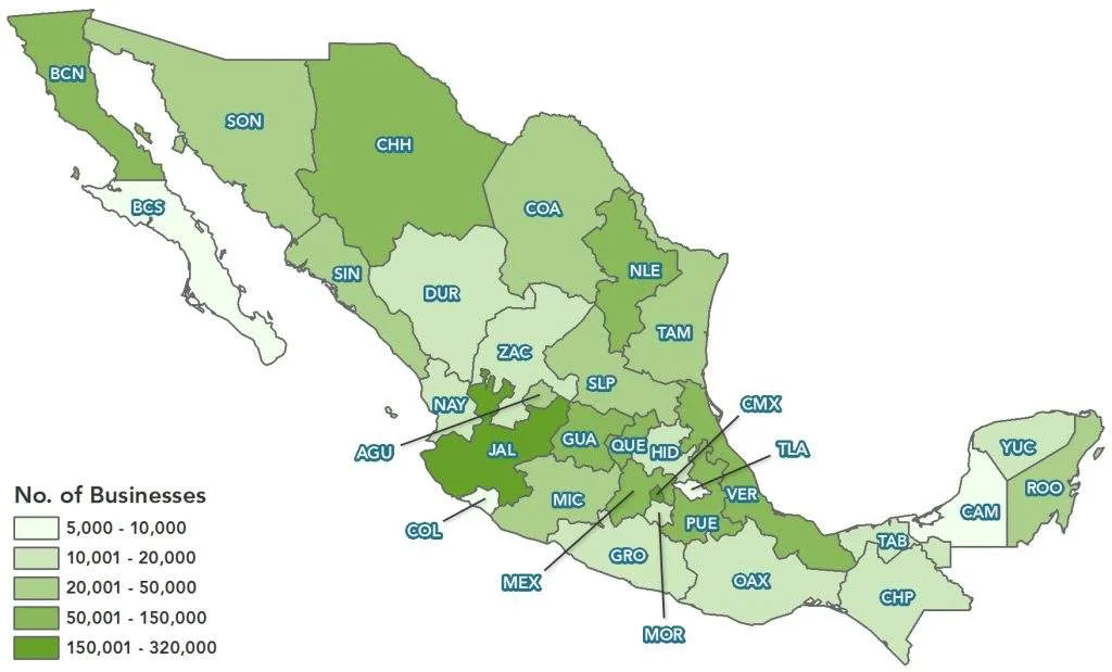
Doing Business In Mexico? Business data is your greatest asset when doing business in Mexico, and location-based data should be central to your research as you look into the assets and resources that will help your business grow.

A successful government website effectively answers constituents questions and helps to get them engaged. Here are 8 essential steps to getting it right.

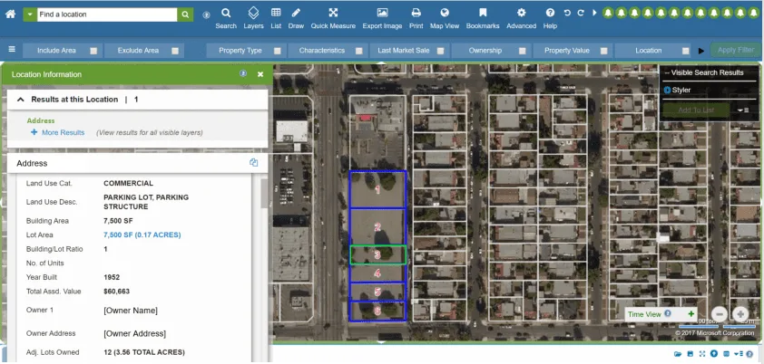
Looking for aggregated parcels? It’s common for builders and developers to look for aggregated properties owned by the same owner to find more opportunities.
Need to learn how to overlay retail logos on a map? When analyzing properties, a crucial aspect includes knowing what businesses are nearby. Here's why.


What's the point of creating a digital map no one can use? Check out the most common digital mapping mistakes real estate websites make and how to fix them.