By: General Manager Caroline Stoll, Data & Analytics at LightBox
More than 20,000 GIS professionals packed into the San Diego Convention Center this July for the 45th Esri User Conference. What stood out this year wasn’t just the scale; it was the urgency.
The theme “GIS: Integrating Everything, Everywhere” felt like a shared mission. From public-sector planners to infrastructure developers, telecom leaders, and commercial developers, everyone showed up with a clear goal: move faster, cut complexity, and deliver value with location data now.
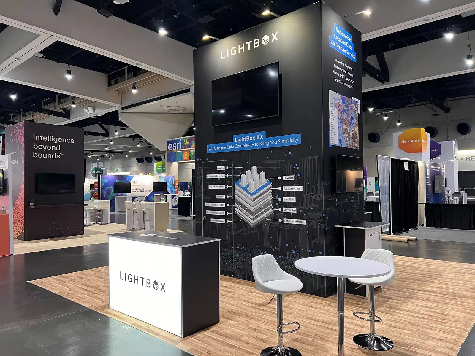
At LightBox, we didn’t just attend. We listened. We learned. And we saw firsthand what this community is hungry for.
“Clients aren’t just mapping where assets sit; they’re stress-testing how those locations will perform under future pressure,” said Steve Griffin, Director of Strategic Accounts at LightBox.
What’s Next in GIS: 5 Frontline Signals from Esri UC 2025
1. GeoAI Has Graduated to Execution
This wasn’t a conference about theoretical AI. It was about how to actually use it.
We saw:
- Chat-style assistants embedded in ArcGIS Pro
- GeoAI agents running automated workflows
- Large language models writing Arcpy code and classifying imagery on command
Across the board, teams wanted to know how LightBox Data (especially parcel, zoning, and environmental layers) could fuel GeoAI-powered workflows. And with LightBox’s True Owner contact intelligence now available, the appetite for clarity and automation in due diligence is only growing.
The message was clear that authoritative data is both the fuel, and the firewall, for AI in GIS.
2. Indoor and Real-Time Mapping Are Now Table Stakes
Transit agencies are mapping ADA accessibility station-by-station. Emergency teams need stair-level detail in high-occupancy buildings. Facility managers are pulling sensor data into real-time dashboards.
At our booth, customers asked about:
- Schematic building layouts
- Unit-level detail
- Environmental data feeds
All delivered through LightBox Feature Services and APIs.
Location intelligence used to stop at the parcel line. Now, it’s being expected inside the building and in real time.
3. Site Selection Is at the Center of Every Industry
This year, site selection took center stage across every corner of the conference. We heard it from:
- Data center developers and hyperscalers
- Energy utilities siting battery storage and solar farms
- Telecom providers rolling out fiber and broadband
- Government agencies allocating infrastructure funding
The decisions are getting harder. It’s no longer just about finding available land. Now it’s about:
- Who owns it?
- Is it zoned for what I need?
- What’s the environmental risk?
- Is it climate-resilient?
- Can the grid support it?
LightBox’s combination of parcel data, zoning and land use, environmental context, and scenario modeling tools through our acquisition of UrbanFootprint helps clients see the full picture and make confident decisions with fewer tools and faster answers.
4. Data Integration Is Still the Biggest Friction
Almost every conversation circled back to this: “We have the data, but it’s stuck in silos.”
Parcel boundaries in one place. Zoning in another. Ownership in a third. Climate overlays sitting in spreadsheets. It slows down permitting, policy planning, and investment decisions.
Even sophisticated GIS teams are struggling with:
- Differing schemas
- Inconsistent metadata
- Data freshness concerns
Integration isn’t just an IT problem. It’s a strategic blocker.
At LightBox, we’re investing in API-first delivery, seamless ESRI compatibility, and integrated products like UrbanFootprint to remove those bottlenecks. Because data is only as powerful as your ability to use it.
5. From Buzz to Breakthroughs: What We Heard and What Comes Next
The margarita bar helped break the ice, but what kept people engaged were the real conversations: tactical, honest, and ambitious.
They weren’t just browsing booths. They came with real challenges to solve.
The questions were sharper. The curiosity was deeper. And the urgency was real.
Everyone we talked to came looking for more than just tools. They came with a purpose: to remove friction, move faster, and make smarter decisions with confidence.
Turning Data into Decisions: What’s Next from LightBox
If “Integrating Everything, Everywhere” is the mission, here’s how LightBox is answering the call with focused solutions that reduce friction, increase clarity, and help teams move with confidence.
| Challenge | How LightBox is Solving It |
| Disconnected parcel, zoning, and environmental data | Unified schema with always-on Feature Services, including jurisdictional zoning and land use layers. |
| Unclear ownership and contact info | True Owner is live across Vision and API, with quarterly enhancements focused on contact accuracy and usability. |
| Fragmented scenario modeling tools | Expanded planning and impact analysis capabilities to support infrastructure siting, land use forecasting, and policy evaluation. |
| Manual GIS queries | GeoAI-ready natural language interfaces in development. |
Together, these solutions make it easier to move from insight to action across commercial and public-sector workflows.
Our Commitment
We came to San Diego to listen. To learn. And to ask better questions.
Thank you to everyone who stopped by the booth, shared your workflows, told us where the friction lives, and challenged us to go deeper. We’ continue to strive to not just build tools, but more importantly buildtrust and deliver data you can act on.
See you next year. Same city. Stronger solutions.
Want to learn more about anything we shared at Esri UC? Reach out, we’re happy to dive in.

