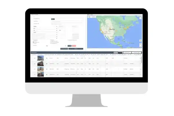
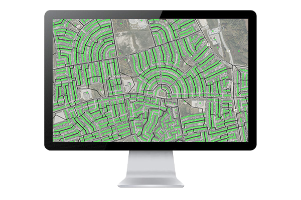
Comprehensive mapping software, analysis and management for industries including real estate and government sectors.
Learn moreTelecom
Get connected with real solutions in real time
With LightBox, you’ll get access to location accuracy and property intel, whether your cable, wireless, and wireline telecommunications work involves marketing and analytics, serviceability, planning and engineering or operations. Gain insights into segmented customer usage habits, demand forecasting and equipment estimates, so you can avoid delayed project times and quickly respond to issues.
Contact UsKey Benefits
Identify Emerging Markets
Understand your market’s demographics and population density to more accurately forecast demand. Make informed decisions regarding current and future supply needs with the help of historical aerial imagery and household growth forecasts.
Strengthen Marketing & Communications
Our location intelligence platform includes property ownership information as well as comprehensive demographics such as age, gender, income, education level and more. This content combined with our mail merge functionality, allows you to easily send mailers to your target audience.
Serviceability & Site Selection
Our location intelligence platform enables you to easily find locations for new infrastructure. By visualizing data including serviceable locations, land use, and points of interest, our location intelligence platform makes selecting a new site simple.
Better Demand Forecasting & Infrastructure Maintenance
Through delivery of key property and ownership data points, we help support demand forecasting and your need to maintain infrastructure, so you can predict and solve problems related to hardware capacity, staffing, and more.
Manage Assets
Our location intelligence helps maintain and control operational assets and equipment, providing vital situation awareness and supporting compliance measures.
Easily Handle Right-Of-Way Projects
Departments dealing with right-of-way projects like service expansion and maintenance upgrades can quickly and easily determine the fastest and most cost-effective routes.
SpatialStream®
Inside the GIS Department
SpatialStream® enables energy companies to stream SmartParcels®, our normalized nationwide parcel and building footprint database into their ArcGIS platform in real-time.
LandVision™
Outside the GIS Department
LandVision™, our easy-to-use map-based application, integrates with ArcGIS, which means that you can access and work with the same data that your GIS team is working with.
Customers We’ve Empowered
We develop partnerships with companies who innovate with our data and their expertise.
Connected Data
Address Point
Address information for single family home, multi-unit dwellings or large office buildings with multiple secondary units and address information from multiple streets.
Building Footprints
Building footprints are geospatial boundaries that provide the outline of a building drawn along the exterior walls.
Business Listings
Comprehensive view of tens of millions of businesses across the United States.
Have questions? Want a demo? Let’s chat.
Fill out the form below and a member of our Sales Team will contact you shortly.