Comprehensive mapping software, analysis and management for industries including real estate and government sectors….
Learn moreBroadband Mapping
Closing the digital divide
Data solutions to analyze broadband availability
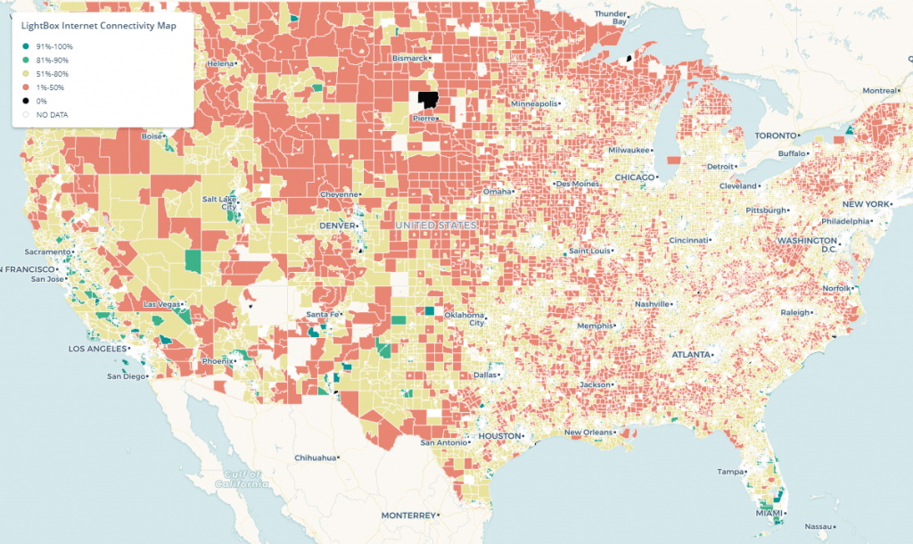
Connectivity Map
60 million Americans currently unconnected to Broadband
Analyze & close the digital divide
LightBox is the first and only firm that has delivered a comprehensive map on a state level
Utilize a comprehensive, high accuracy location map
LightBox Expertise
Create the workflow to engage ISP stakeholders and determine served and unserved
Solve adjacent problems such as affordability, uptake, and speed
Analyze and publish results to ensure transparency
Proven by innovators
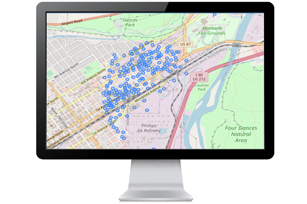
Wyoming and Montana, leaders in state broadband mapping, proved the value of SmartFabric.
- Mapped over 16 million locations with 200 ISPs
- Provided a more accurate picture of the digital divide than the current FCC map
SmartFabricSM
Every address, for every residence and business, at the highest locational accuracy, linked to rich attribution to solve your business problem
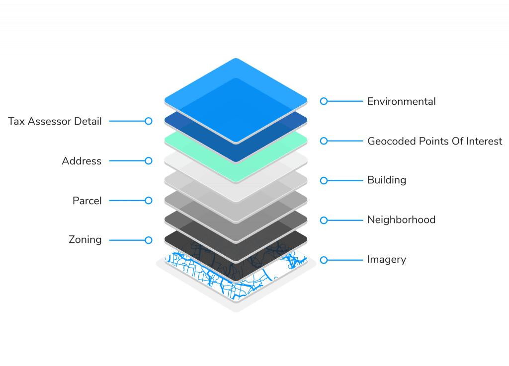
- Location components cover all 50 States and the District of Columbia as well as the US Territories
- Solves for needs that require a high level of fidelity and location accuracy over a large area, including rural areas
- Largest nationwide collection of parcel boundaries and building footprints as well as secondary addresses for both residences and businesses
Built for broadband workflows
LightBox’s experience helps you create workflows that help you analyze and bridge the digital divide
- Engage ISPs to map their coverage areas using SmartFabric
- Determine locations, residence counts, and business counts of unserved areas
- Create plans for grant programs to incent build-out
- Publish results to legislative, technology, and citizen stakeholders
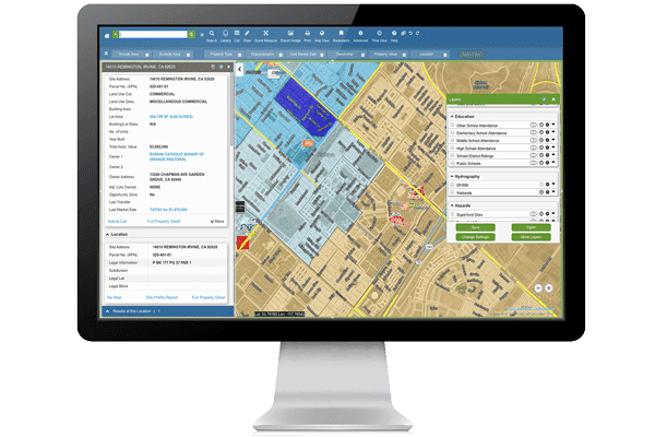
Design and built by LightBox
- LightBox data is counted on by over 1,200 clients
- Built from proven LightBox data components
- Designed for all components – structures, addresses, locations, and all attribution – to work together, allowing easy integration and immediate use
Get insight to broadband availability nationwide
The LightBox Connectivity Map helps you visualize the broadband served and unserved.
Proven by innovators
Mapped 5.2 million locations with 45 ISPs, identifying 507,000 unserved locations
Design and built by LightBox
LightBox data is counted on by over 1,200 clients
Built for broadband workflows
LightBox’s experience helps you create workflows that help you analyze and bridge the digital divide
SmartFabricSM
Every address, for every residence and business, at the highest locational accuracy, linked to rich attribution to solve your business problem
A data driven approach to broadband for all
Bill Price, VP of Government Solutions at LightBox
Connected Data
Address Point
Address information for single family home, multi-unit dwellings or large office buildings with multiple secondary units and address information from multiple streets.
Building Footprints
Building footprints are geospatial boundaries that provide the outline of a building drawn along the exterior walls.
Business Listings
Comprehensive view of tens of millions of businesses across the United States.
Parcel Boundaries
Nationwide parcel boundaries with 300+ property and tax attributes to help you make more confident decisions. Covers 3,100+ U.S. counties including territories, with over 150 million parcels with polygon geometry that is completely normalized.
Recommended Insights
Geolocation Data – Crucial for Telecommunication Providers’ Expansion and Security

Top LightBox Blogs from 2023

The LightBox Data Platform for CRE: A new approach for helping customers solve problems and develop new solutions
Have questions? Want a demo? Let’s chat.
Fill out the form below and a member of our Sales Team will contact you shortly.