Environmental Due Diligence
EDR® City Directory Report
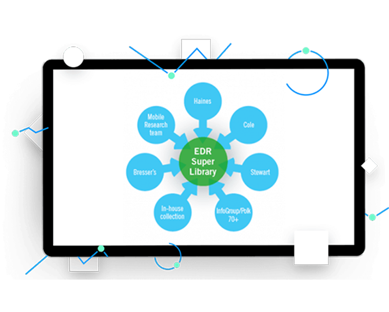
The largest collection of historical city directory information ever assembled. Meet the EDR City Directory Report, a super library offering you the best way to find city directory information. Through exclusive agreements with major publishers and mobile research facilities across the country, these reports provide you with unmatched national coverage and speed of access.

Overview
Search our City Directory Super Library, the largest collection of historical city directory information ever assembled. Through exclusive agreements with major publishers, our own hard copy and digital collections, and our mobile research facilities at major libraries across the country, our City Directory reports provide you with unmatched national coverage and speed of access. We add content to the City Directory Super Library regularly, keeping it up-to-date and expanding coverage from additional sources.
Key Benefits
Access exclusive collections
Reference the Haines and Stewart directory collections (the only reuse permission in the industry), plus Polk, Bressers and Cole.
Gather current and hard-to-find data
Rely on our 20 expert field researchers around the country who gather trusted but difficult-to-access resources.
Expedite turnaround time
Skip combing through hard copies and utilize billions of digitized records to gather information faster.
Why Use LightBox EDR to Access City Directory Data?
Through the Super Library, “No Coverage” has been virtually eliminated
We own the Haines and Stewart directory collections, providing the only reuse permission in the industry. We’ve established agreements with Polk, Bressers and Cole including copyright and reuse.
- Our in-house collection contains 3,400 hard copy books
- We’ve digitized billions of records, speeding turn around time
- 20 expert field researchers around the country access trusted but difficult-to-access resources