Creating a rich, highly accurate national fabric of broadband coverage with over 300 property attributes & spatial data layers.... Learn more
SmartParcels®
The powerful nationwide parcel database you need
Decision-making just got easier. SmartParcels® combines parcel boundaries with 300+ property and tax attributes, with a focused commitment to 100% coverage.
REQUEST A DEMO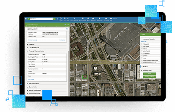
How SmartParcels® is different
SmartParcels and our other map-ready content power our map-based real estate applications, LightBox Vision℠ and GOVCLARITY®, as well as 3rd party applications via SpatialStream®.
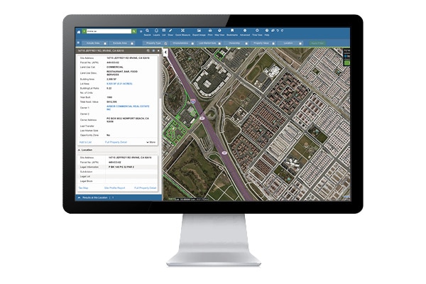
Determine precise property data
- Uncover detailed property characteristics and precise parcel boundary locations for over 99% of the US population.
Link to relevant data
- Connect with LightBox address data (SmartParcels® and LightBox Building Footprints).
Simplify management
- Access single, normalized data structure across 3,000+ counties instead of individual county-level data inputs.
Customize delivery
- Choose from bulk data, real-time API, or LightBox Vision℠ for how you’d like to consume data.
Stay up-to-date
- Enjoy quarterly product updates for increased coverage—as well as efficiency.
Determine precise property locations
Use basic location details to validate property records
- Use addresses, parcel numbers, latitudes and longitudes to accurately locate a property.
- Identify the subdivision and block group that a property belongs to.
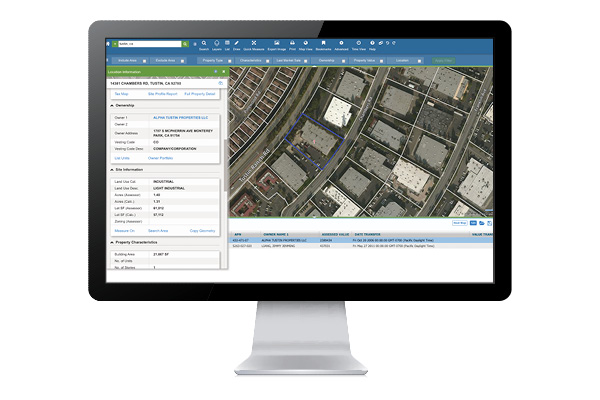
Understand property ownership
Find the owner of any property
- Use complete property ownership information to easily understand who owns a parcel.
- Determine if a property is owner-occupied and identify the owner’s address if it’s different than the property you’re researching.
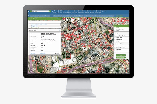
Identify land use & zoning data
- Explore information about a parcel including land use category, acreage and lot square footage.
- Use zoning information to determine how any applicable overlay zoning may affect future development.
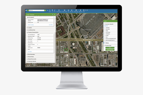
Evaluate property characteristics
- Evaluate a property based on characteristics including building area, the number of units or stories, year built, and more.
- Leverage advanced details such as whether or not a building has been fitted for air conditioning and the number of parking spaces that exist.
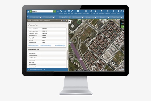
Determine accurate property values
Identify assessed value & transaction history
- Understand assessed land values, improvement values and percentages, and the property tax paid in a given year.
- Access a property’s complete transaction history dating back up to 15 years.
Connected Data
Property
Address Point
Address information for single family home, multi-unit dwellings or large office buildings with multiple secondary units and address information from multiple streets.
Boundaries
Building Footprints
Building footprints are geospatial boundaries that provide the outline of a building drawn along the exterior walls.
Recommended Insights
Government

8 Steps to Creating a Successful Government Website
A successful government website effectively answers constituents questions and helps to get them engaged. Here are 8 essential steps to...
Data
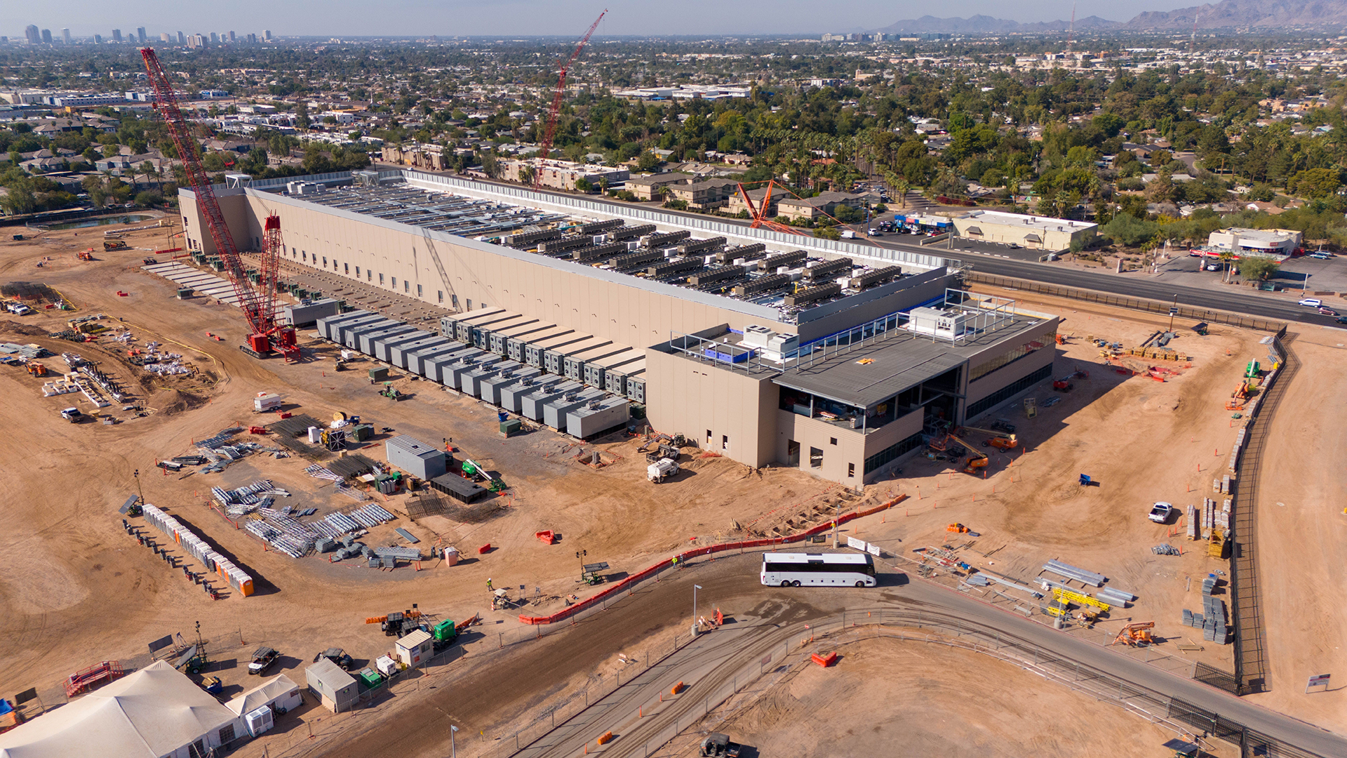
A Growing Demand for Land: Site Selection for Data Centers
As data centers become the backbone of the digital economy, the decision of where to build them has never been...
Energy

A Guide to the PHMSA Gas Mega Rule and How It Will Impact Oil & Gas and Engineering Firms
On July 1, 2020, after roughly 8 years of going through the proper procedures for recommendations and reviews, the Pipeline...