A LightBox customer success story
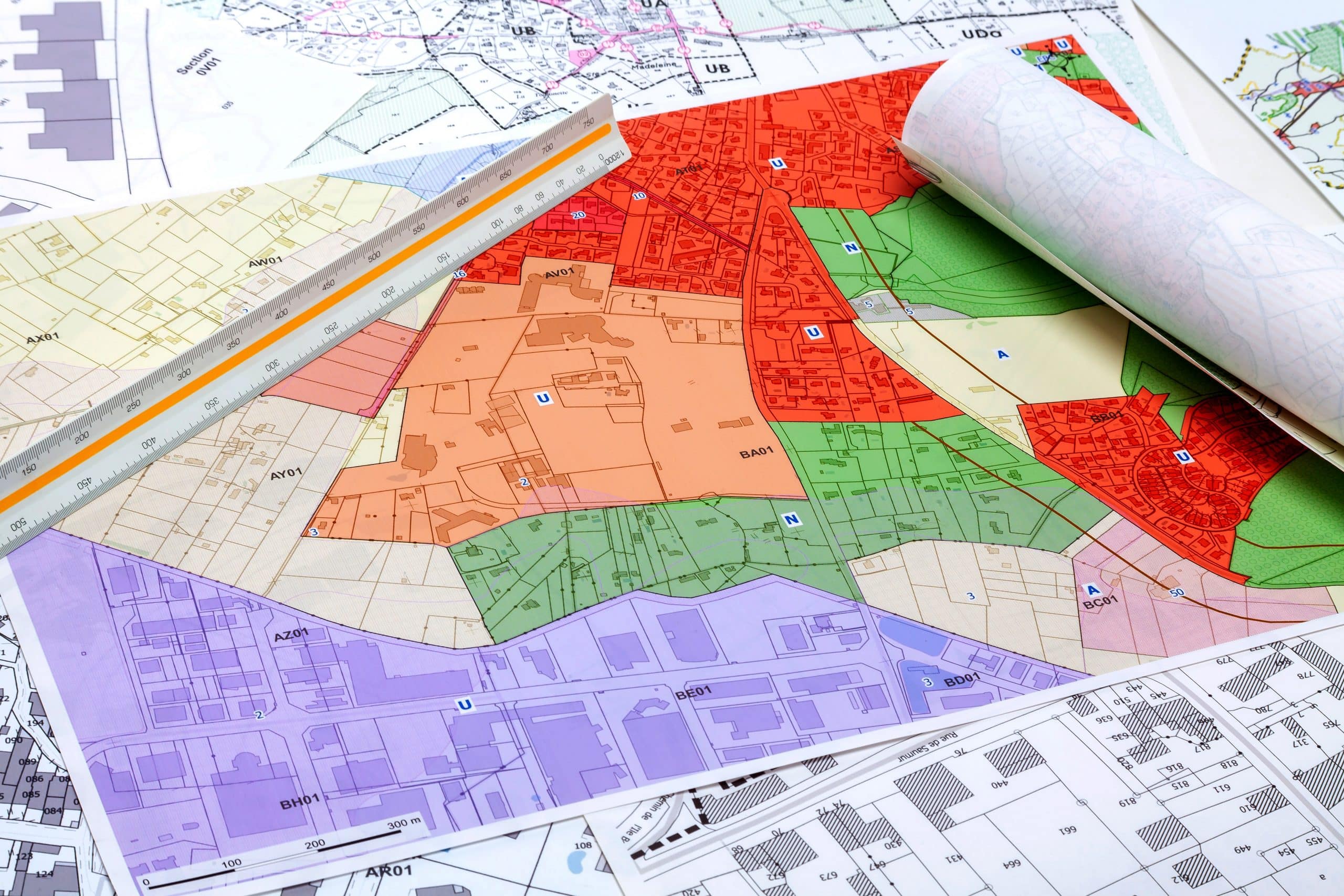
- The Alabama Department of Conservation and Natural Resources (DNCR) needed access to statewide parcel data.
- LightBox GIS data helps the agency manage its database of species, state-owned land, and conservation nominations.
- The DCNR has been able to boost efficiency and streamline its workflow.
The Alabama Department of Conservation and Natural Resources oversees conservation activities and education, wildlife management programs, coastal programs, and coastal restoration, among other things. We recently spoke to Ashley Peters, a geographic information system (GIS) specialist, who told us how LightBox data helps her team manage a range of tasks.
Tell us a little bit about yourself and your current role.
I’m a GIS specialist in the State Lands division of the Alabama Department of Conservation and Natural resources. There are three other divisions, each with a GIS team focusing on different tasks. My team primarily deals with managing wildland trust properties and other trust lands. We cover a lot of bases.
What’s your typical day like?
There’s really no such thing as a typical day at DCNR. Things change depending on which projects we’re working on. I can sometimes be found in the field doing biological work, but I’m normally in the office managing our species database, which includes more than six million records for species in the state. I also assist with the land trust by drawing deeds to make land purchases. Whatever comes up.
How did you discover LightBox? Were you seeking a specific solution?
Our department previously didn’t have access to statewide parcel data. We were able to access some federal data, but it was only boundary information, with nothing about ownership or other metrics. We had to visit county websites to get detailed information about those things. We would take screenshots, a cumbersome process we no longer rely on now that we have LightBox parcel data.
We first heard about LightBox during a presentation at a state GIS conference. We assessed the cost, determined that it was viable, and have been using it for five or six years. Other teams in our department have integrated LightBox into their workflows—for example, our legal team uses LandVision. Some of our staff don’t normally deal with GIS, but having the LightBox viewer available is still helpful for some of their processes.
How long did it take going county to county? And how does LightBox help?
That would depend on the county. Some counties have great viewers and easy access to data, as well as GIS data and experts to help us with what we need. Other counties, such as the more rural Black Belt in Alabama, generally don’t have GIS staff and most viewers were outsourced making communication challenging, which made our work difficult.
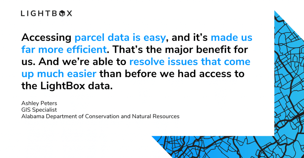
With LightBox, we no longer have to go from county to county. Accessing parcel data is easy, and it’s made us far more efficient. That’s the major benefit for us. And we’re able to resolve issues that come up much easier than before we had access to the LightBox data.
Would you recommend LightBox to a colleague or organization doing similar work?
Definitely. Because of LightBox, we are now one of the few Alabama agencies with access to statewide parcel data. We’re trying to spread the word to other state GIS offices who would benefit greatly from the data they can access through LightBox. Until parcels are available statewide, we’re glad we have LightBox and we continue to benefit from it.
Learn more about how you can unlock insights with accurate and comprehensive data for the entire CRE workflow. Visit our developer portal for more information on how to power your digital workflow using comprehensive property and location intelligence data from LightBox.