
Author: Richard W. White, Research & Development, Environmental Due Diligence, LightBox
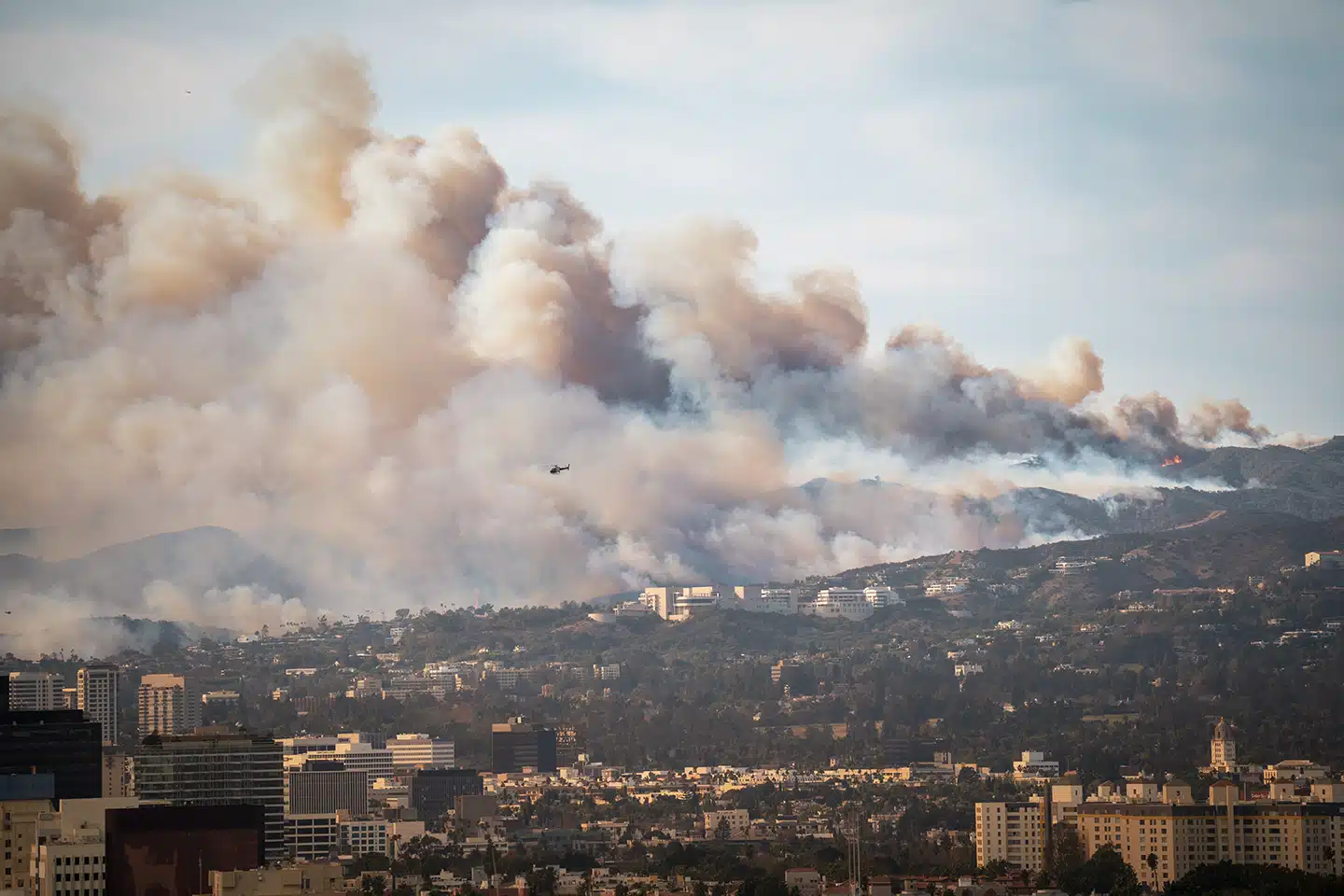
After the ashes of the Palisades and Eaton Fires fade, a less visible threat emerges—environmental contamination. Toxic materials and hazardous waste pose long-term dangers to residents, first responders, and the rebuilding process in Southern California. While efforts to restore homes and infrastructure take priority, environmental data reveals urgent risks that could hinder community health and recovery.
Using fire perimeter data from CAL FIRE, LightBox conducted an extensive analysis across more than 2,000 federal, state, tribal, and local environmental databases. The LightBox report reveals significant environmental concerns within the Palisades and Eaton fire perimeters in the recovery and clean-up effort, underscoring the immediate need for data-driven disaster response.
Some highlights include:
- In the Palisades-affected area, LightBox identified more than 10,000 structures impacted, including more than 200 businesses.
- More than 700 properties were flagged for likely contamination from hazardous materials, with 150 of these containing underground storage tanks (USTs).
- Similarly, in the Eaton-affected area, the LightBox analysts identified more than 9,000 structures that were impacted, including 175 businesses.
- 600 properties were flagged for likely contamination from hazardous materials, including 75 USTs.

The dangers posed by wildfires are not limited to the destruction of structures—they often release harmful substances such as asbestos, lead, and petroleum into the environment, which pose significant health risks. Personnel working around contaminated debris may require training for hazardous cleanup work before supporting removal or emergency-response operations. Immediate efforts by the EPA are focused on removing easily identifiable hazards like pesticides and batteries, but long-term recovery demands careful monitoring and data-driven decisions.
“This isn’t just about cleaning up debris—it’s about making sure we’re not putting people back in harm’s way,” said Alan Agadoni, LightBox Environmental Risk Specialist. “Many of these properties contain hazardous materials that aren’t immediately obvious. Without accurate data, entire neighborhoods could be rebuilt on contaminated land.”
Traditional disaster response models often miss emerging risks, such as asbestos contamination from fire debris, which is only uncovered through databases like CA HAZNET. This gap can delay recovery and increase health risks, making it essential to use geospatial intelligence to map risks in real time. LightBox’s tools provide critical insights, enabling officials to make safer, more informed rebuilding decisions.
In the interest of helping the community rebuild, LightBox has made available its Wildfire Response Map for environmental engineers, public agencies, and the community at no cost. This tool provides real-time environmental risk mapping to prevent rebuilding mistakes that could cost lives and billions of dollars in the future.
As climate-driven disasters increase in frequency, rebuilding efforts must focus on long-term safety, not just speed. By prioritizing real-time environmental data, communities can prevent costly mistakes and ensure safer, more resilient recovery efforts. The future of wildfire resilience lies in data-driven decisions that protect both lives and the environment.
Hear from the Expert!
Listen to Richard W. White talk to Dianne Crocker about his analysis using LightBox data to assess the environmental risks after the LA wildfires.