


Environmental Due Diligence
The Governance Gap in AI Adoption for Environmental Due Diligence
The Governance Gap in AI Adoption for Environmental Due Diligence
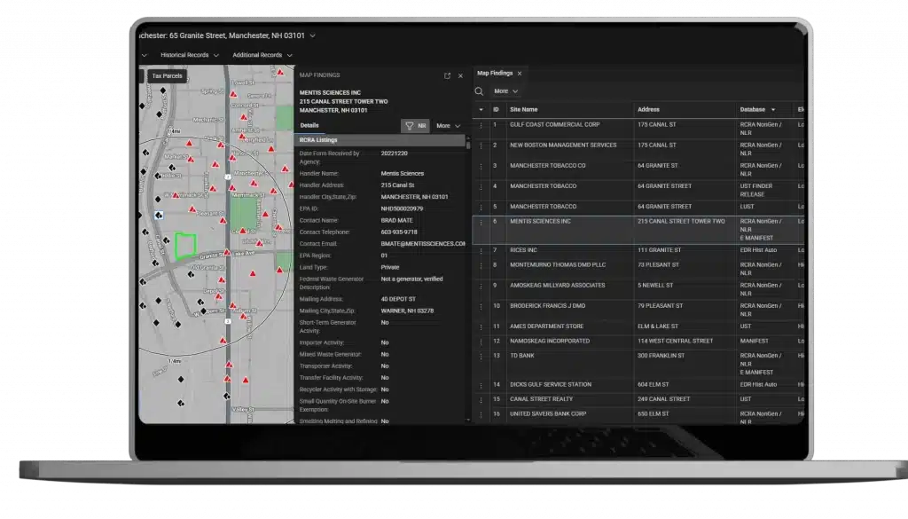
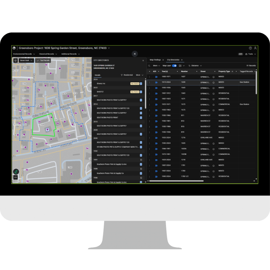
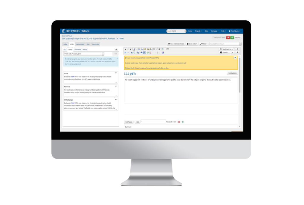
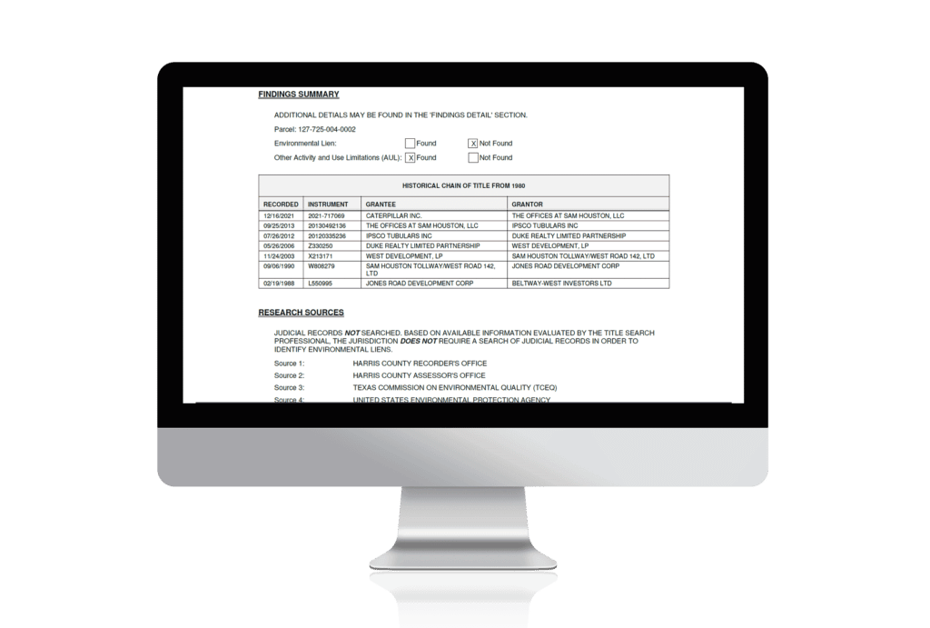
By: Dianne Crocker, LightBox research director and Alan Agadoni, senior VP, LightBox EDR In the March issue of EM Magazine,…