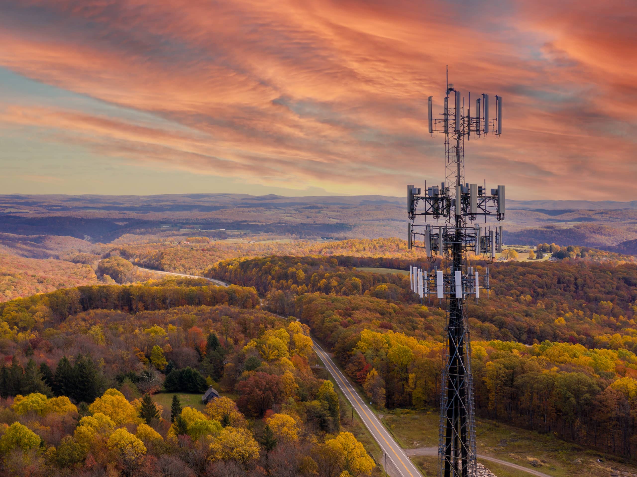

State broadband mapping is one of the most crucial infrastructure tasks in the U.S. today, requiring cooperation and coordination between federal and state government bodies and the private sector Internet Service Providers (ISPs). Yet even with ample federal money available, few states have created the comprehensive, granular maps to inform and guide grant program decisions to expand broadband access in unserved and underserved areas.
From 2010-2015, part of the American Recovery and Reinvestment Act (ARRA) stimulus funding from the National Telecommunications and Information Administration (NTIA) provided money for states to undertake broadband mapping at the census block and road-segment level. When this stimulus program ended, the FCC took over the mapping program. In a widely criticized effort, the FCC mapped broadband availability at the census block level which resulted in Congress passing the Broadband Data Improvement Act. This legislation directed the FCC to map broadband availability to every address in the county to precisely target funds to maximize their impact and prevent waste.
When stimulus funding ended in 2015, most states closed their broadband offices. A few, including Minnesota, New York, Massachusetts, North Carolina, and Utah, kept the lights on and launched their grant programs using state funds. The mapping carried out until recently has relied on FCC477 data (census block level), speed tests, and surveys to approximate where broadband services are available.
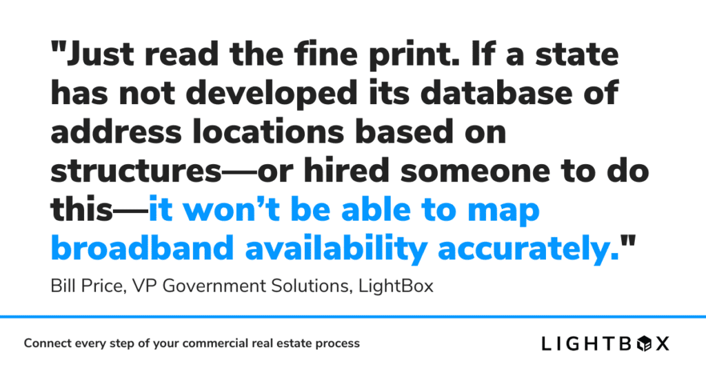
But these colorful and intricate broadband maps don’t accurately identify unserved locations. Just read the fine print. If a state has not developed its database of address locations based on structures—or hired someone to do this—it won’t be able to map broadband availability accurately. And it will not be able to file a challenge to the new FCC ‘fabric’. Only a few states are building databases that link address locations to structures to prepare for future use of the American Rescue Plan Act (ARPA) or BEAD funds. Fewer than 15 states are attempting themselves or contracting with firms like LightBox for help creating these “fabrics” and broadband availability maps.
Charting the Right Path Forward
States dealing with the effects of the pandemic have come to realize the importance of broadband connectivity for remote school and work. Their legislatures are determining how state rules will govern newly formed broadband offices. Officials are rushing to deal with various regulations and requirements, with little time to implement the policies necessary to meet broadband funding requirements.
States have two basic mapping options. They can wait for the FCC to complete the national location database fabric that will play a large part of their process to determine eligible locations for each state’s BEAD funding allocation. Or they can develop their own, either internally or by hiring a company like LightBox. States that don’t have a fabric database and collect ISP availability to the location level won’t be able to challenge the FCC’s new fabric or the broadband availability data that NTIA will use to allocate BEAD funds.
The FCC has indicated there will be two challenging processes, one for the fabric (address location data) and one for the broadband availability results. States hoping to raise challenges will have to provide their data and evidence using the same fabric format and identify the methodology used to develop the fabric and/or the broadband availability results. Those who have developed their own fabric and ISP data collection will be positioned to pose credible challenges and get corrections. If this happens transparently and objectively with qualified subject matter experts, the challenge process can be beneficial if it improves the completeness and accuracy of the results. But the FCC has yet to publish details about either approach.
LightBox has been a location data and service company for more than 20 years and offers a national address location database that can be used to create detailed, granular broadband fabrics. We’re accustomed to working with internet service providers to collect their data and complete the mapping program within 12-16 weeks once a contract is signed. After helping states such as Georgia, Montana, and most recently, Texas to create broadband maps to support their broadband programs we hope other states will join our roster of success stories and successfully expand broadband service to all their residents.
Click here learn about our Broadband Mapping solutions and Connectivity Map.